Expanding the infrastructure of the concept of a new global reserve system
Comrades! We have begun refining the interactive map of future Territories of Full Ecological Tranquility (TFET). A control panel, full-screen mode, and a separate version for ease of use on mobile devices will be developed. We are also currently collecting data on all the world's reserves (protected natural areas) and will create our own map layer so that people can see on a scale how many areas of wild nature are truly protected! In the future, our Territories of Full Ecological Tranquility will gradually be presented over these cores, allowing for an assessment of the old reserve system and a view of what we propose.
The development of TFET will require numerous expeditions, extensive fieldwork, and data collection from different regions of the world. We will need to independently determine the boundaries of future TFET, economically justify each local project, and demonstrate a viable integration model considering the states where TFET is proposed. We will prepare proposals for the states. Each proposal will launch its own project initiative with documentation, results, boundaries, and scientific justification.
This work is for many years to come.
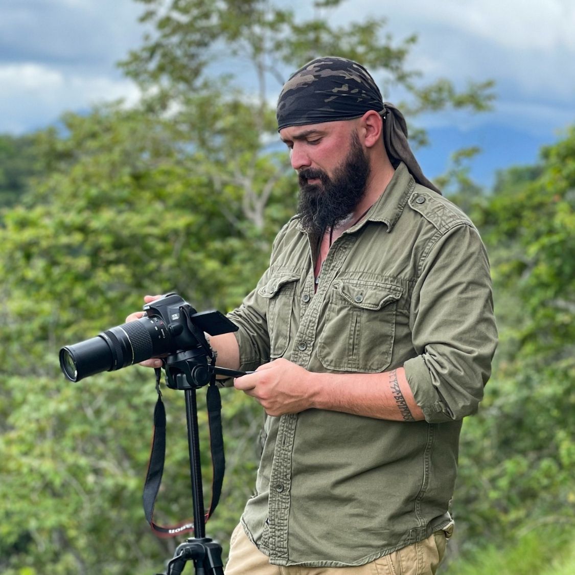
We are now moving to the stage of expanding the interactive map of the future reserve system, creating a user interface, developing a layer of protected natural areas, and adapting everything for the planned large volume of data. Additionally, the methodology for determining TFET boundaries will soon be updated, as the old data is no longer relevant. Over the past few months, I have conducted my own expeditions to various regions of the world as much as I could. It is more complex than it seemed. I will study the collected data over the next two to three months, update the project's infrastructure, and then plan both changes in methodology and strategies for promoting our Concept.
© PAVEL PASHKOV